
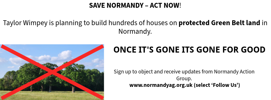
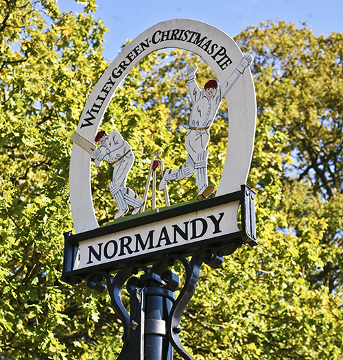
Our Normandy Village - Once its gone, its gone for good

Our Normandy Village - land near Pusseys Copse with Ancient Woodland

Our Normandy Village - view to the Surrey Hills National Landscape

Our Normandy Village - St Marks Church, Wyke, 15th c.

Follow us on
![]()
![]()
![]()
![]()
Basically 'inset' permits a local planning authority to draw a line around land in the Green Belt and declare it no longer part of the Green Belt at which point all Green Belt planning protections are lost to the land within the boundary. This is likely to lead to "garden grabbing" and a densification of development within the inset boundary.
A village that is 'inset' from the Green Belt or other countryside protection policies on the proposals map, sometimes allowing appropriate development. (Definition from the Planning Portal).