
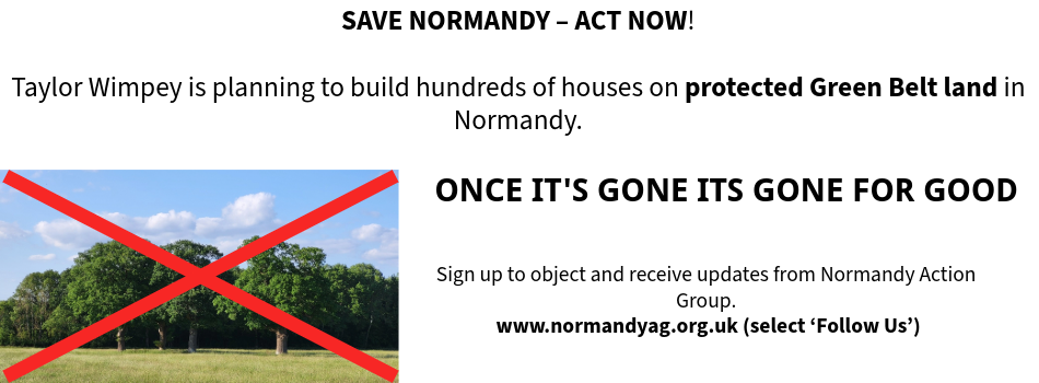
Our Normandy Village - Once its gone, its gone for good

Our Normandy Village - land near Pusseys Copse with Ancient Woodland

Our Normandy Village - view to the Surrey Hills National Landscape

Our Normandy Village - St Marks Church, Wyke, 15th c.

Follow us on
![]()
![]()
![]()
![]()
Protecting
Policy P14: Regionally Important Geological-Geomorphological Sites
The Council’s preferred approach is to have a policy that protects the value of RIGS sites in line with LPSS Policy ID4. This is set out below.
Preferred option for Regionally Important Geological / Geomorphological SitesThe aims of this policy could be secured by having a policy that: 1) Requires that development proposals that are likely to materially harm the conservation interests of Regionally Important Geological/Geomorphological Sites [RIGS] must demonstrate that the need for the development clearly outweighs the impact on biodiversity. 2) Ensures that where this test is met, every effort is made by the applicant to reduce harm to the conservation interests of the Regionally Important Geological/Geomorphological Site through avoidance and mitigation measures. The applicant must demonstrate that any necessary avoidance and mitigation measures will be implemented and maintained effectively. Justification for the choice of options and selection of preferred optionReasons the alternatives were selected‘No policy’ is the only reasonable alternative as no further options were identified. Reasons for selecting the preferred option in light of the alternativesThe option to not have a specific policy covering this issue, but to consider planning applications against the NPPF and Planning Practice Guidance, was considered to provide an insufficient level of guidance for the management of development which may affect RIGS within the borough. National policy provides broader guidance for this issue area and it was considered appropriate that additional details were provided in order to clarify how the national guidance should be applied for Guildford’s context. Having considered the evidence, opportunities and policy context within Guildford, the preferred approach as outlined above is considered to represent the most appropriate method of addressing the issue of development affecting RIGS in Guildford. The preferred approach aligns most appropriately with national legislation and Local Plan Strategy and Sites 2019 policies and guidance, and most effectively addresses the issues outlined within this Plan. |
Question 14: Do you agree with the preferred option to address Regionally Important Geological / Geomorphological Sites in Guildford?
Do you have any other comments or suggestions?
Response: Normandy Action Group disagree
Comments & Suggestions
The evidence provided under Issues is wholly deficient in ignoring the locally designated Areas of Great Landscape Value [AGLV]. AGLV as an appropriate geomorphological type (dictionary definition of Geomorphological: “of or relating to the form or surface features of the earth”).
Simply saying that policies from the approved Local Plan 2003 should not be repeated does not make AGLV land to disappear or the responsibility of GBC to appropriately protect it.
Relying on SyNP RIGS is an inadequate response in policy formation. The investigative process should spread its net more widely.
This policy fails to mention Area of Great Landscape Value [AGLV] expressed in Local Plan 2003 Policy RE6 where a specific protection is afforded to a large area recognised as of county-wide importance, addressing landscape character with an intention to provide protection. A large proportion of this area is at some indeterminate point to be considered by Natural England for inclusion in Surrey Hills AONB (subject to MCHLG approval).
The Local Plan 2003 policy stated:
Local Plan 2003, page 87
Policy RE6
AREA OF GREAT LANDSCAPE VALUE (AGLV)
Development within the Area of Great Landscape Value, defined on the Proposals Map, should be consistent with the intention of protecting the distinctive landscape character of the area.
10.27 The AGLV is of county importance and covers the southern half of the Borough as defined on the Proposals Map. Within this area development should have regard to the conservation and enhancement of the existing landscape character.
AGLV in the area of Flexford and Wanborough formed by the northern slopes of the Hogs Back is in process of consideration in Surrey Hills AONB as evidenced by an extract from the report in the GBC Evidence Base as follows:
Surrey Hills AONB Management Plan (2020 – 2025), Post Consultation Draft For Surrey Hills AONB Board, August 2019
1.15 The implications of a Surrey Hills AONB Boundary Review
Significant parts of the Surrey countryside adjacent to the AONB are designated at a county level as Areas of Great Landscape Value (AGLV). These areas have acted as a buffer to the AONB but they also have their own inherent landscape quality and are significant in conserving the landscape setting of some towns and villages. Although AGLV land is not a national designation, previous Surrey Hills AONB Management Plans recognised the importance of AGLV land in protecting the integrity of the Surrey Hills AONB landscape, particularly views to and from the AONB. The application of the Management Plan policies and actions to AGLV land has been instrumental in helping to conserve and enhance the Surrey Hills.
In October 2013, the Surrey Hills AONB Board formally requested that Natural England consider modifying the AONB boundary. In 1958 the Surrey Hills AONB was the second landscape to be designated an AONB, and there has never been a review of the boundary.
A purpose of the review will be to establish whether land designated at a County level as AGLV should be included in the AONB. Following a comprehensive landscape character assessment of the AONB and AGLV land, candidate areas that meet the AONB criteria have been identified. In February 2014, Natural England agreed to progress a Modification Order. It is anticipated that this process will take about two to three years to progress. The aim will be to generate a consensus on the land to be included in the AONB, particularly amongst the six AONB local authorities, in order to reduce any need for a lengthy and expensive Public Inquiry.
The decision to pursue the modification of the AONB boundary will have a significant impact on the review process, but such a process is expected to take two to three years to complete. It is therefore expected that the implications of a reviewed AONB will be consolidated within the next AONB Management Plan 2025 – 2030, but this will be kept under review during the course of this AONB Management Plan and Government advice.
Currently a large proportion of this Green Belt land has been sold to a land speculator that is selling it off in small plots on the spurious marketing ploy that the land might obtain planning permission. The uncertainty of the AONB inclusion process suggests the community would benefit from a minimum safety net of AGLV protection through inclusion in Policy P14 as a recognised important geomorphological site.
We propose a new paragraph in the Issues section of Policy P14 as follows (proposed text in bold italic) in order to maintain protection for AGLV designated land:
“Geomorphological sites that are valuable for their educational, scientific, historic or aesthetic importance but not otherwise determined as RIGS, specifically AGLV designated land under consideration for inclusion in Surrey Hills AONB, shall be subject of this policy, unless subsequently confirmed for inclusion in Surrey Hills AONB by Natural England and Surrey Hills AONB Board. The Council intends to protect this land in line with the protection afforded to ‘Local sites’ in LPSS Policy ID4: Green and blue infrastructure.”
- << Prev
- Next