
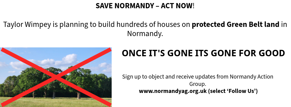
Our Normandy Village - Once its gone, its gone for good

Our Normandy Village - land near Pusseys Copse with Ancient Woodland

Our Normandy Village - view to the Surrey Hills National Landscape

Our Normandy Village - St Marks Church, Wyke, 15th c.

Follow us on
![]()
![]()
![]()
![]()
Overview
The proposed site is boxed in by an unclassified road (Glaziers Lane D60) on the east, a C-class road (Westwood Lane C16) on the west, and a railway line to the south. Both of the roads struggle to cope with the existing volume of traffic, let alone the increased traffic from an 1,100 home development and road traffic to and from the proposed school.
There is a narrow humpback bridge on Glaziers Lane to negotiate, which is on a deceptive double bend and has very limited sight lines, as well as a right angled bend where the Lane meets another unclassified road, Flexford Lane. There is also an extremely dangerous, single-lane road under a railway bridge on Westwood Lane which also has a deceptive double bend and a height limit of 14’-3” under which a double-decker bus is not able to pass.
There are also dangerous junctions where these roads meet the A323 Guildford to Aldershot road at their northern ends. At rush hour this road is already congested and is identified in GBCs ‘Options Growth Scenario Transport Assessment Report’ as being at full capacity already.
The entry and exit from the A31 ‘Hogs Back’ on to the B3000 to travel to and from the development site via Wanborough Hill is a ‘bottle neck’ at most times of the day, and would be likely to ‘grid lock’ with the increased volume of traffic to and from the site and the school. No amount of improvements to the road system will enable these rural roads to cope with the increased volume of traffic, let alone the construction traffic that would disrupt this fragile infrastructure over possibly a fifteen year period.