
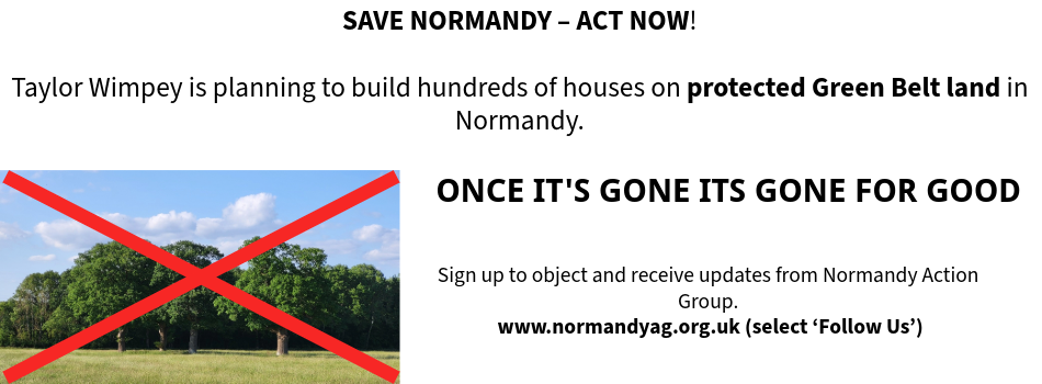
Our Normandy Village - Once its gone, its gone for good

Our Normandy Village - land near Pusseys Copse with Ancient Woodland

Our Normandy Village - view to the Surrey Hills National Landscape

Our Normandy Village - St Marks Church, Wyke, 15th c.

Follow us on
![]()
![]()
![]()
![]()
Page 7 of 17
Flood risks not considered by GBC
As A46 is within 5km of the TBHSPA, (Policy 1: Sustainable Development) GBC should have considered the Habitats Regulations (NPPF) ‘water stress’. This has not been considered. GBC’s Surface Water Management Plan (SWMP) has excluded the land north of A46, flood risk 3a and 3b (identified on the Environmental Agencies flood risk map). Loss of 3b an ‘effective floodplain’ will severely impact on the surrounding areas identified on the SWMP.